

UAV Data Collection and Mapping

UAV Data Processing Services
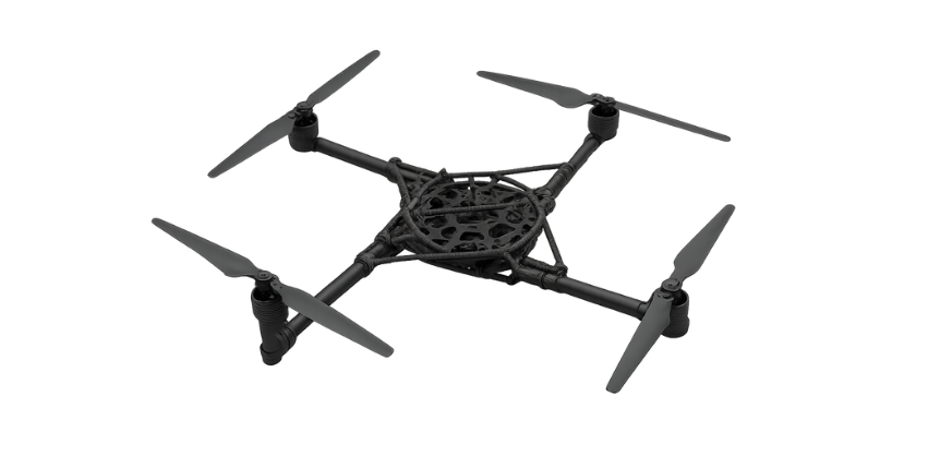
Real-Time Drone Mapping & Inspection Services

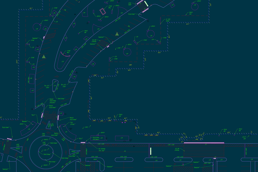
Survey-Grade Geospatial
Solutions
Trusted brands used


Our Mission
From UAV mapping to advanced LiDAR and scanning technologies, SURVAIR delivers accurate, actionable data to support planning, design, and construction.
SURVAIR provides comprehensive reality capture solutions through the integration of aerial and terrestrial technologies. By combining advanced data collection methods with in-house processing expertise, our team transforms real-world environments into precise, reliable digital outputs.
With expanded capabilities, SURVAIR now serves as a centralized resource for all reality capture services; streamlining workflows, improving efficiency, and delivering consistent results across every project.


.png)

.png)

View our sample projects


Innovation In Flight
At SURVAIR, we combine advanced UAV platforms with precision LiDAR scanning and high-resolution photogrammetry to deliver highly detailed mapping and surveying solutions.
Whether we’re capturing data along the East Coast or processing data from teams worldwide, our flexible approach allows us to support projects of all sizes and environments.
What sets us apart is our ability to turn raw data into actionable insights through AI -driven analytics and optimized workflows. We deliver high -accuracy topographic surfaces, surface breaklines, and 3D models that integrate seamlessly into your projects - saving time and reducing rework without sacrificing quality.
Unlike many UAV providers, we don’t stop at data collection. Our deliverables meet the same professional standards as a traditional survey crew, ensuring you receive survey-grade results that are QA-checked and ready for use in your CAD environment.

Seamless Data Integration
PLS-validated outputs are ready for GIS and CAD workflows, providing orthomosaics, contour maps and CAD exports that slot directly into your existing systems.
Certified Expertise
FAA-licensed remote pilots & Professional Land Surveyor oversight ensure every mission meets regulatory standards & delivers rock-solid, defensible data
Tailored Reporting
Customizable deliverables, from 3D models and volumetric analyses to interactive dashboards, provide the exact insights your team needs
Rapid Turnaround
Optimized flight planning and streamlined post-processing deliver aerial data in as little as 24 to 48 hours, keeping projects on schedule
Gain a Competitive Edge with Survair

Our Impact
50K+
Acres Mapped
0.1'
RMSE Accuracy
12+
Years in Survey Tech
100%
Seamless CAD Integration
Industries we cater to

Emergency
Land Survey
Agriculture
Photography


Aerial Perspectives


Let's Elevate Your Data
Ready to unlock the power of aerial environmental intelligence?